
ORE DEPOSITS IN THE ANTI-ATLAS AND SUB-ATLAS REGIONS
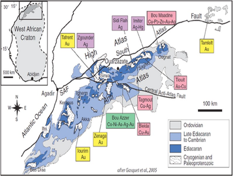
The Anti-Atlas geological province is the host of a variety of ore deposits, ranging from Paléoprotérozoïque to Ordovician in age. These deposits are mainly Cu-Au porphyry types, precious metal epithermal (Au, Ag) or polymetallic VMS base metals (Cu, Pb, Zn, Au, and Ag), while the sub- Atlas region presents an important occurrence of manganese. Figure 8 shows the location of the most important deposits in the Anti-Atlas region.
Located in eastern Anti-Atlas, the world class Imiter Ag-Hg mine (8.5 Mt at 700g/t Ag), is among the most important deposits in Morocco. It is considered to be of epithermal origin. The silver mineralisation happened during regional extension (+/- transpession?) tectonic regime event around 550 and is hosted in a series of volcanic felsic rocks Ma (Tuduri et al, 2006). Briefly, a three-stage model has been proposed to explain the deposit: a first episode characterized by the development of quartz, pink dolomite, and Ag-rich minerals veins formed during a dextral transpressive event, followed by a barren stage associated with a normal left-lateral motion that re-opened previous structures, and a final alteration stage (i.e. supergene enrichment) that contributed to local enrichment in Ag deposit (Tuduri et al, 2006).
Regarding copper, Bleida was the most important Cu deposit of northern Africa until late 90’s. Located on the northern edge of the West African Craton, the Bleida orebodies are located on an inactive continental margin along with preserved ophiolites of Upper Proterozoic age. The copper deposits (chalcopyrite, bornite, pyrite) are stratiform distal massive sulfide bodies whose position is controlled by both the sedimentation of shales and an acid volcanism, which follows a more important basic volcanism. Pan-African deformation (650-600 Ma) has determined the current geometry of the cupriferous lenses although it has not remobilized the sulfides out of their original carrier beds (Leblanc and Billaud, 2006). West of the main Moroccan Bleida copper deposit, gold mineralization has also been discovered (West Bleida, ca. 3 tonnes metal Au). It is hosted by metamorphosed and deformed mafic to intermediate volcanic rocks that are part of the Neoproterozoic tholeiitic volcano-sedimentary series forming the stratigraphically upper part of the Bou Azzer ophiolite sequence. Gold mineralization primarily occurs
as deformed gold-bearing quartz veins and disseminations in Cu-rich chert zones (chalcopyrite– malachite), Fe-rich lithofacies and breccia zones. Gold is accompanied by small amounts of copper sulphides (<1% modal chalcopyrite).
Another important occurrence (not displayed in the map, Fig. 8) is the Imini Manganese deposit, the most important Mn deposit of Morocco, located in the western margin of the Ouarzazate foreland basin (Sub-Atlas). The manganese ore is made of pyrolusite (MnO2), and is hosted in different horizons of dolomites from the lower Cretaceous, and another accessory layer. This layers thickness can reach up to 1 meter. The deposit scale is 25 km per 100-400 m width, and sits above slates and crystalline rocks. Dolomitic sandstone and/or conglomerate are present between each mineralized horizon. Isabel von Steinaecker; source: http://www.geo.tu-freiberg.de/oberseminar/os03_04/Isabel_Steinaecker.pdf).

Figure 8: The Anti-Atlas belt at the northern limit of the West African Craton. Redrawn after Dallmeyer and Lecorché (1991) and a geological sketch map of the Anti-Atlas belt in southern Morocco and location of main ore deposits. SAF: South Atlas Fault. Gasquet and al. (2005)
Source web par unige.ch
Les articles en relation
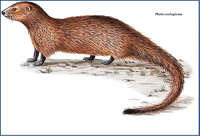
La mangouste Ichneumon (نمس)
La mangouste Ichneumon (نمس) Le rat des pharaons (Herpestes ichneumon en latin, نمس en Darija ), mangouste d’Égypte ou mangouste ichneumon est une espèce de petit mammifère carnivore, qui depuis touj
Savoir plus...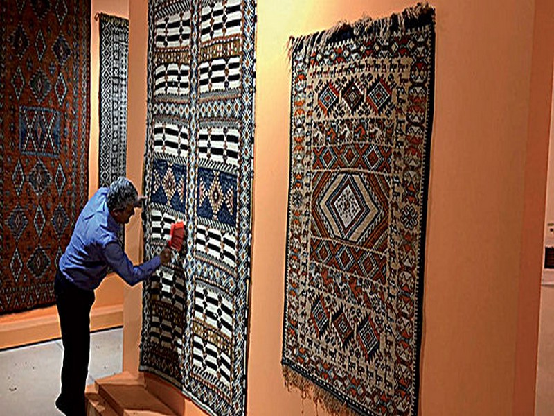
Nouveau à Marrakech : le Musée national du tissage et du tapis Dar Si Saïd
Nouveau à Marrakech : le Musée national du tissage et du tapis Dar Si Saïd Au terme de plusieurs mois de travaux colossaux, le plus ancien musée de Marrakech, le mythique musée Dar Si Said, situ&eacut
Savoir plus...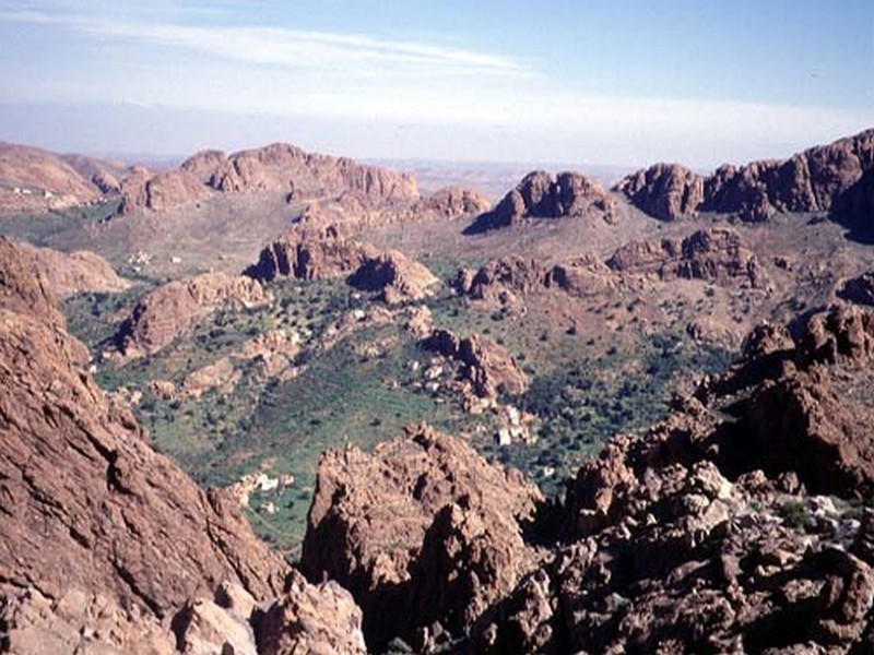
BIOCLIMATS et MILIEU PHYSIQUE (jbel Lkest )
BIOCLIMATS et MILIEU PHYSIQUE (jbel Lkest ) Caractéristique bioclimatique : - Inframéditeraranéen aride semi-aride tempéré au piémont - Thermoméditeranéen semi-aride. -
Savoir plus...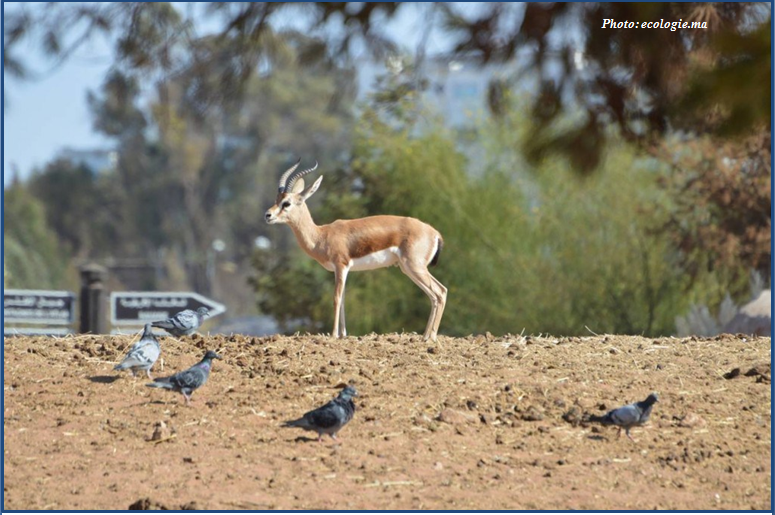
Errachidia: Introduction de 100 gazelles dorcas
Errachidia: Introduction de 100 gazelles dorcas (Source : ecologie.ma) Ce 10 Janvier, Le Haut Commissariat aux Eaux et Forêts et à la Lutte Contre la Désertification (HCEDLCD) a r&
Savoir plus...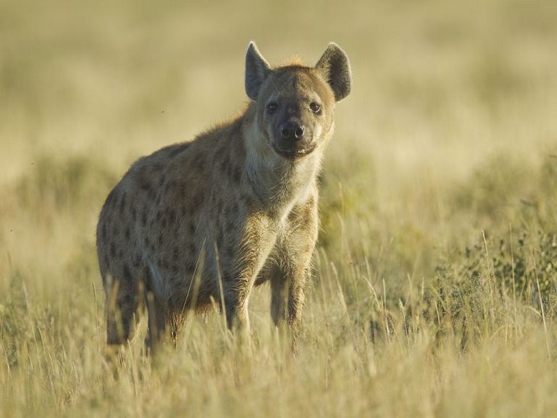
Quelques animaux préhistoriques de Casablanca (Etude)
Quelques animaux préhistoriques de Casablanca (Etude) Depuis 1978 une équipe multidisciplinaire de scientifiques marocains multiplie les missions de recherche pour étudier une « caverne d’Ali baba &ra
Savoir plus...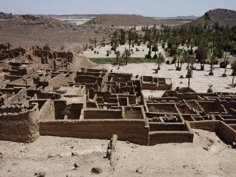
Oasis et anti atlas –tata
Tata est une oasis du sud marocain, elle se situe à proximité de la frontière Algérienne sur les contreforts de l’Anti-Atlas. La petite ville de Tata se trouve à 289 km au sud de la ville d&rsqu
Savoir plus...
Des insectes porteurs de virus : un projet américain qui inquiète des scientifiques
Des insectes porteurs de virus : un projet américain qui inquiète des scientifiques Selon un collectif de chercheurs, le programme de recherche de la Darpa visant à inoculer des gènes de résistance
Savoir plus...
Biodiversité : découverte de 163 nouvelles espèces le long du Grand Mékong
Biodiversité : découverte de 163 nouvelles espèces le long du Grand Mékong Le bassin du Grand Mékong n'a pas encore livré tous ses secrets. De nombreuses nouvelles espèces y sont d
Savoir plus...
Climat tropical
Climat tropical Un climat se définit grâce à différentes données météorologiques. Les températures et les précipitations sont déterminantes en la matière. El
Savoir plus...
Igountar & Oukaïmeden
Igountar & Oukaïmeden Une partie importante des gravures de l’Oukaïmeden se trouve au centre même de la station au milieu des terrains des chalets; il vous suffit de demander dans les caf&eacut
Savoir plus...
Phénomènes climatiques extrêmes : le réchauffement parfois seul en cause
Phénomènes climatiques extrêmes : le réchauffement parfois seul en cause Les scientifiques l'avaient annoncé : un jour, l'influence du changement climatique engendré par l'Homme de
Savoir plus...Les tags en relation
En savoir plus sur " Géologie et TSGJB - AMDGJB ! "
Consulter les vidéos de " Géologie et TSGJB - AMDGJB ! " Consulter les photos de " Géologie et TSGJB - AMDGJB ! " Consulter les publications de " Géologie et TSGJB - AMDGJB ! " Consulter les éditions de " Géologie et TSGJB - AMDGJB ! " Consulter les communications de " Géologie et TSGJB - AMDGJB ! "Recherche du site
Recherche avancée / SpécifiqueVulgarisation à la géologie
Qu'est ce que les sciences de la terre: vulgarisation Qu'est ce que la géologie ? Géologie et TSGJB - AMDGJB !
Géoparc et Recherche Scientifique
Le coins de l’étudiant
Blog Géoparc Jbel Bani
Dictionnaire scientifique
Plus de 123.000 mots scientifiques
Les publications
Géo parc Jbel Bani
Circuits & excursions touristiques
cartothéques
Photothéques
Publications & éditions