
STRUCTURAL EVOLUTION OF THE ANTI-ATLAS DOMAIN :AN OVERVIEW pour Yves Missenard
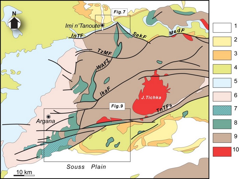
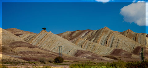
The Anti-Atlas represents the most important segments of the major Pan-African (≈0.5Ga) belt system of North Africa. This orogen exposed in a series of sporadic SW–NEtrending outcrops over 700km across southern Morocco, and reach ≈150km wide in the central part, west of Ouarzazate (Figure G1 & G2).Scattered outcrops of related rocks are described in NW Algeria which indicate that the belt continues from SE Morocco southeastwards with a NW–SEtrend.
The Anti-Atlas orogen comprises two main sequences of rocks: a metamorphic basement of Palaeoproterozoic (2Ga) age and the Neoproterozoic rocks. The Palaeoproterozoic rocks form the northern margin of the West African Craton mainly outcropping in the Reguibate Shield in Mauritania And Algeria. The Palaeoproterozoic basement is exposed in a series of uplifted inliers (‘‘boutonnieres’’) surrounded by the Neoproterozoic rocks that were locally deformed with the basement during the Pan African Orogeny. with the during the Pan African Orogeny.
Paleoproterozoic rocks and Eburnian orogeny
The oldest rocks of Morocco, Archean in age3 Ga(Montero et al, 2014) crop out in the southernmost Reguibat E shield which formsthe northern part the West African Craton (WAC).Further north, in the Anti-Atlas chain, the basement units are Paleoproterozoic (Taznakht Group, former” PI”)cropping only in the south of the Anti-Atlas Major Fault (AAMF). They are metamorphic rocks (greenschist to amphibolite facies) intruded by peraluminous and calc-alkaline granitoids dated around 2Ga(Thomas et al, 2002).The corresponding tectono-magmatic and metamorphic events are assigned to the Eburnian/Birimian orogeny.
Neoproterozoic rocks and Pan-African orogeny
As everywhere in the WAC, Mesoproterozoic rocks are lacking in the Anti-Atlas. Neoproterozoic Formations overlie directly the Paleoproterozoic basement. The Neoproterozoic/Paleoproterozoic boundary is generallya tectonic contact (thrust, strike-slip or detachment faults), and seldom a stratigraphic contact (Tizi n’Taghatine). Globally, the Neoproterozoic formations record three main stages of the Pan-African cycle (figureG4):
I .The early Neoproterozoic platform development is marked by the accumulation of thousands of meters of quartzites and stromatolitic limestones (Taghdoute Group, former “PII”), intruded by doleritic dykes and gabbroic intrusions. These rocks are associated with the rifting of the WAC margin, broadly contemporaneous with the oceanic accretion further north (760 Ma), witnessed along the AAMF by the Bou Azzer-El Graara and Siroua ophiolitic sequences (Bou Azzer Group).
II .Oceanic closure and subsequent Pan-African collision are associated with oceanic subduction along the northern margin of the WAC, ending with the accretion of oceanic arc formations (figureG4).The reported “blueschist facies” mineral associations in the Bou Azzer inlier are controversial. The polarity of the subduction remains also matter of debates; the same is true for the real location of the northern edge of the WAC. The oblique Pan-African collision(655 Ma to 640 Ma) generated south-verging thrust sheets onto the cratonic margin. South of the AAMF, the main Pan-African phase is recorded by low grade recrystallizations, synmetamorphic folds and various ductile and brittle structures in the Taghdout Group series.
III The Late to Post Pan-African extensional event is recorded by the extensive volcanic and volcano clastic series of the Ouarzazate Group (former “PIII”, 580 Ma to 560Ma), interbedded with subaerial to lacustrine deposits, which unconformably overlie the Eburnian and/or Pan-African basement units. The Ouarzazate Group shows abrupt variations of thickness and facies controlled by extensional tectonic activity. Various high-K calc-alkaline to alkaline plutons emplaced within the Ouarzazate Group, coeval with the volcanic rocks of comparable chemistry.

FigureG4: Generalized lithostratigraphic column for the Anti-Atlas Pan-African orogen. “PI” = “XI”, etc. are the classical stratigraphic symbols used on Anti-Atlas geological maps. HKCA: High-K calc-alkaline (granitoids) after Thomas et al. (2004), Gasquet et al. (2005) and Liégeois et al.2006 in Youbi et al., 2013

Source web par sociedadgeologica.es
Les articles en relation

COP 23 : les États sont d’accord… pour discuter
COP 23 : les États sont d’accord… pour discuter La COP 23 s'est achevé ce weekend sans clash, ce qui est déjà appréciable. Le bilan restera maigre mais quelques avancées sont
Savoir plus...
Climat continental
Climat continental Un climat se définit grâce à différentes données météorologiques. Les températures et les précipitations sont déterminantes en la matière.
Savoir plus...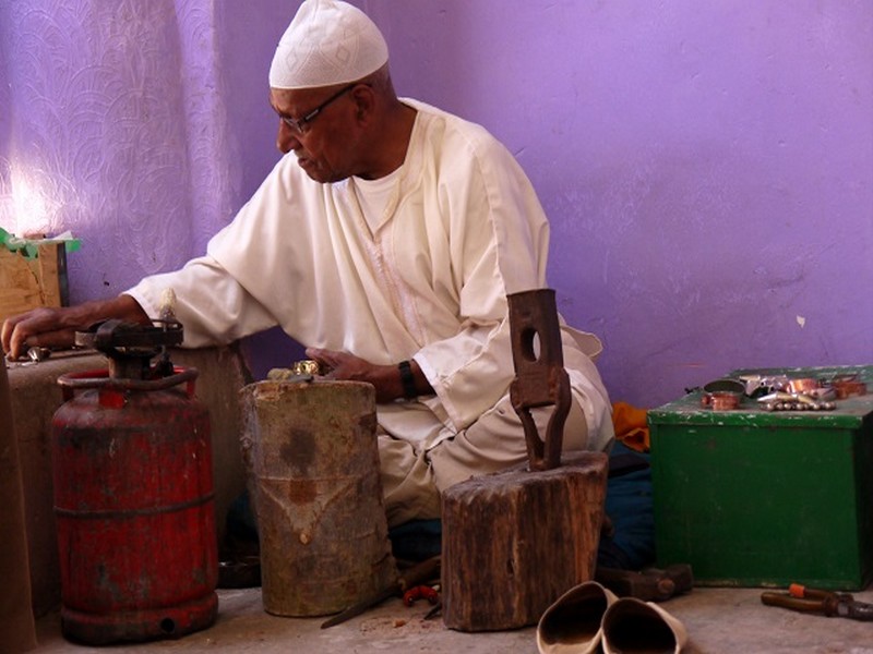
Artisanat : Les artisans marocains
Indifférents au temps qui passe, les artisans du sud Maroc ont de tout temps joué un rôle prépondérant dans le quotidien des populations berbères. Au départ essentiellement domestique,
Savoir plus...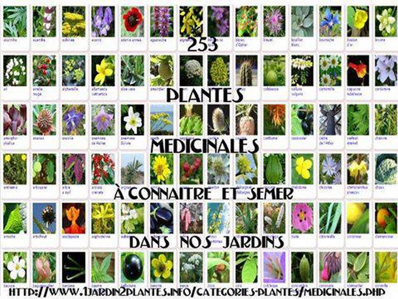
VOICI UNE LISTE DE PLANTES MÉDICINALES La sauge est neurotoxique, à fortement déconseiller aux enfants, femmes enceintes ou allaitantes, et épileptiques.
Liste de plantes, épices et condiments ayant des vertus médicinales, et recettes de quelques préparations basiques. Connues de nos ancêtres lorsque la médecine moderne n’existait pas, ces plantes,
Savoir plus...
Kasbahs et ksour du sud-est marocain : AIT BEN HADDOU (Géoparc jbel bani)
Kasbahs et ksour du sud-est marocain : AIT BEN HADDOU (Géoparc jbel bani) Ksar d'Aït-Ben-Haddou Ensemble de bâtiments de terre entourés de murailles, le ksar est un type d'habitat traditionnel pr&e
Savoir plus...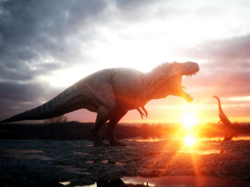
Disparition des dinosaures : quand les mammifères sortent au grand jour
Disparition des dinosaures : quand les mammifères sortent au grand jour Nos lointains ancêtres mammifères appréciaient la vie nocturne. Puis, certains d'entre eux au moins se sont aventurés dans
Savoir plus...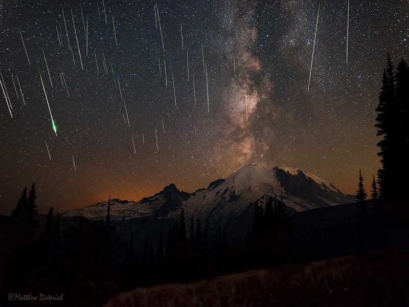
Préparez-vous pour cette pluie de météores: l’une des plus spectaculaires jamais enregistrée dans l’histoire
Préparez-vous pour cette pluie de météores: l’une des plus spectaculaires jamais enregistrée dans l’histoire Incroyable, en effet, la pluie d’étoiles filantes qui sera peut-ê
Savoir plus...
Climat : un coup de froid sur l'Europe dans les décennies à venir ?
Climat : un coup de froid sur l'Europe dans les décennies à venir ? L'ONU estime qu'il y a peu de chance que les objectifs de la COP 21 soient atteints et que le réchauffement climatique se restreigne
Savoir plus...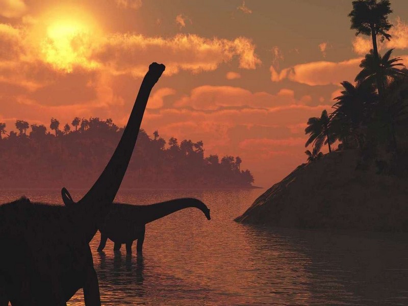
Empreintes de dinosaures : la plus longue piste de sauropode est en France!
Empreintes de dinosaures : la plus longue piste de sauropode est en France! En 2009, la découverte d'empreintes d'un dinosaure gigantesque, à Plagne, dans le massif du Jura, avait été annoncé
Savoir plus...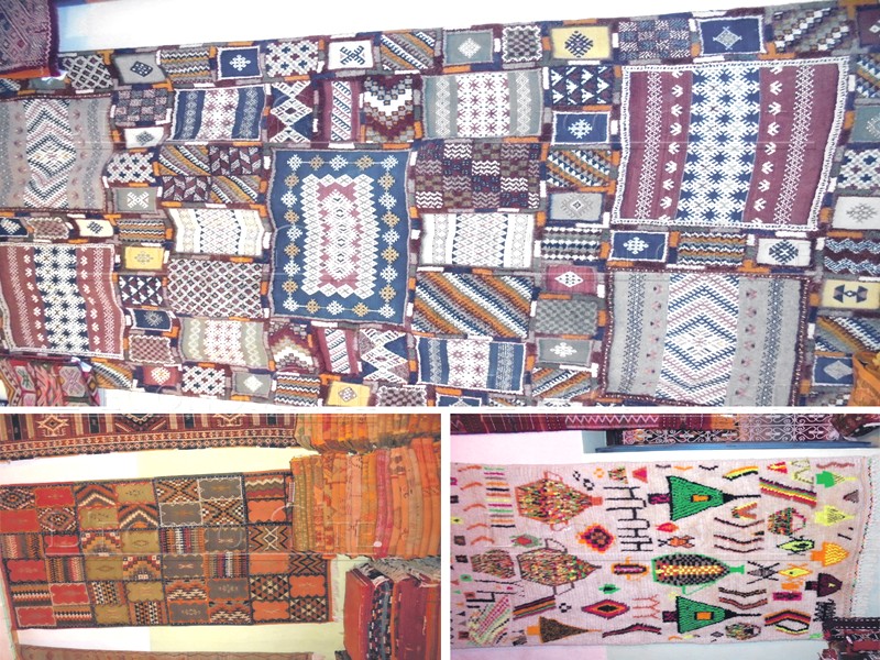
A qui profitent vraiment les revenus du tapis Taznakht (Géoparc Jbel Bani)
A qui profitent vraiment les revenus du tapis Taznakht (Géoparc Jbel Bani) Si le tapis de la région de Taznakht fait sa réputation, c’est grâce à sa laine, ses couleurs, mais aussi au nombre de
Savoir plus...
Patrimoine architectural
Patrimoine architectural Le patrimoine architectural est l'ensemble des constructions humaines qui ont une grande valeur parce qu'elles caractérisent une époque, une civilisation ou un&n
Savoir plus...Les tags en relation
En savoir plus sur " Géologie et TSGJB - AMDGJB ! "
Consulter les vidéos de " Géologie et TSGJB - AMDGJB ! " Consulter les photos de " Géologie et TSGJB - AMDGJB ! " Consulter les publications de " Géologie et TSGJB - AMDGJB ! " Consulter les éditions de " Géologie et TSGJB - AMDGJB ! " Consulter les communications de " Géologie et TSGJB - AMDGJB ! "Recherche du site
Recherche avancée / SpécifiqueVulgarisation à la géologie
Qu'est ce que les sciences de la terre: vulgarisation Qu'est ce que la géologie ? Géologie et TSGJB - AMDGJB !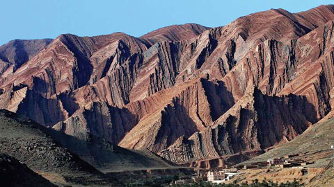
Géoparc et Recherche Scientifique
Le coins de l’étudiant

Blog Géoparc Jbel Bani
Dictionnaire scientifique
Plus de 123.000 mots scientifiques
Les publications
Géo parc Jbel Bani
Circuits & excursions touristiques
cartothéques
Photothéques
Publications & éditions